Pages

Showing posts with label canyons. Show all posts

Friday, April 28, 2017

Hawai'i or Bust: Adventure Travel with a Toddler

Summary of our trip:

No fancy adult beverages with a little umbrellas served to me on a tropical beach.

Come on, motherhood hasn't changed me that much. ;-)

kk gets her beverage - also sans little umbrella (i should make an album of epic nursing photos...)
We've been home a month and a half, and if I don't bang out a trip report right now, it's never going to happen. And I really do enjoy looking back and reminiscing about our dumb/ sketchy/ awesome adventures.

So let's do this. Q&A style. No edits or drafts, start to finish, in one take. Ready set go!

So how was Hawai'i?

Type 2 fun, all the way.

Where did you go?

We started on The Big Island. Made a big clockwise arc around the island, going north from Kona to Spencer Beach Park, up to Pololu Valley, down to Hawaii Volcanoes National Park via Hilo, then back to Kona via the Saddle Road and Mauna Kea. We camped at Spencer Beach Park and Namakanipaio campground (outside HVNP).

toddler's first hike!
Yes, we saw lava, from a distance.

what do a toddler and lava have in common?
Next, we went to Kauai. Camped at Salt Pond Park (3 nights), the unfortunately named Camp Slogett in Waimea Canyon (2 nights), Polihale State Park (1 night), Lydgate State Park (1 night).

did you know that kauai is infested with wild chickens? ear plugs not optional.
Overall, we moved around WAY too much. Way, WAY too much. But we definitely enjoyed our rad minivan rental! Can't wait to get myself one of these sweet rides. (Shut up, Tim.)

i probably should not post this online
How were the flights?

To Hawaii: 11 hours. We had an entire row, 6 seats, to ourselves (!). I hit up the dollar store and wrapped up little trinkets in tissue paper; these provided entertainment not just for the plane ride, but for the subsequent car rides, monsoon afternoons (see below), and hours in the backpack carrier. (We are bad parents.)
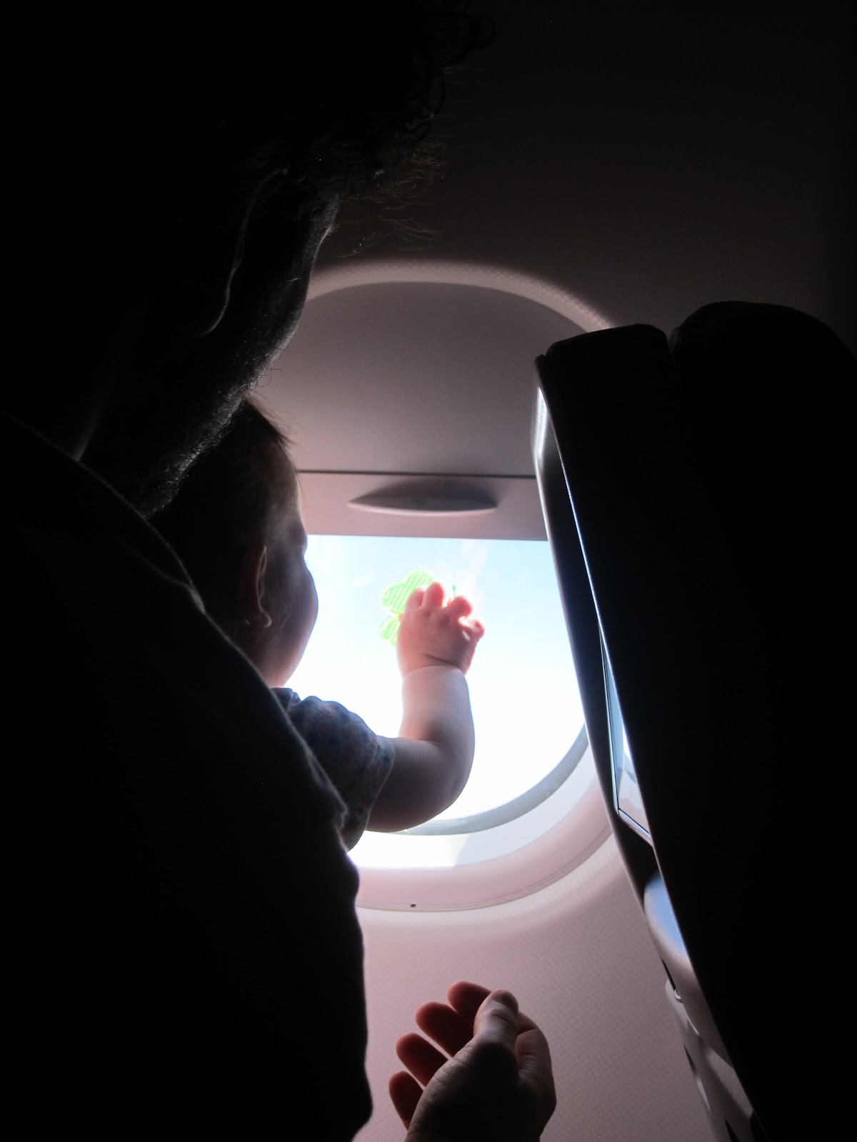

To New York: 9 hour red-eye. It was rough. I survived it the same way I survived labor and delivery: white knuckles and ruthless badassity. In other words, KK slept in the front-carrier, and I didn't move a muscle for 5+ hours.

at least someone is getting rest, part 1
February must have been a great time of year - escape the Northeastern winter!

The weather was amazing by Upstate NY standards and awful by Hawaiian standards. We spent some time highish up, so it was anywhere from 60-80 during the day to 35-50 at night. Most days had at least a little rain, which was fine... until the day we were stuck in a flipping monsoon, in a tent, with our toddler.

stake down that tent, holy smokes!
Speaking of that toddler, adventure travel with a toddler is HARD (but totally doable). One of us was always on kid duty, and the other was on camp duty, so there wasn't really any rest.

dave on kid duty; i'm on stove duty. yes we cooked all our meals except for 2.
Wait, what do you mean by camp duty? You camped for 2 weeks with your toddler? WTF is wrong with you? Why didn't you stay in a resort or something?

Pitching a tent/ cooking on a Whisperlite/ bathing in the ocean;
yes;
I don't know;
they're expensive and more importantly, eww.

Um, so how was camping with a toddler?

Let me preface this by saying: previous to parenthood, we rocked a sub 4-pound ultralight single wall 2-person mini-tent. I cut off the dang handle of my toothbrush and measured the weight of my gear in grams (yes really). I did gear, in the sense that I did as little gear as possible.

The secret to camping with little kids is: embrace the Gear-with-capital-G. Our tent weighs 16 lbs (because it fits a 10-lb queen-sized air mattress, because this is how you get a toddler to sleep in a tent). It has a 6-foot peak height (because you need to stand up straight if you're rocking a baby at stupid o'clock). I am simultaneously mortified to roll into camp rocking such a beast and THRILLED that the toddler has space to play when it's monsooning.

This tent and associated 10-lb queen-sized air mattress are backcountry "mom jeans."

And lemme tell you... once you go elastic waist, you don't go back.

one of us is wearing pants with elastic waist, i'm not telling who
Ok, gimme more details. HOW do you camp with a toddler?

Sleeping

  • Bedshare and breastfeed at night - or the potent cocktail of sleep deprivation and frustration will make you lose your f****** mind. Oh, and everyone in camp will hate your guts because your kid is wailing all night long. Get out the boobs, snuggle up, and doze until the roosters wake everyone up (that's another story).
  • White noise machine. KK sleeps with one at home, and it provided an important source of continuity and routine in camp, as well as muffled the sounds of people laughing/ dogs barking/ music playing. Ours runs on batteries, which we charged in the rental minvan as needed.
  • Accept that you are going to get marginally acceptable sleep. But hey, if you've survived parenthood this long, you're used to that.
  • Also, instant coffee. Because ain't no one got time for the fancy sh!t.
at least someone is getting rest, part 2
Clothing
  • Just like an adult: a hat on the head is worth two layers on the body.
  • Also just like an adult: "cotton is rotten." Stick with fleece, nylon, polyester. (If you have a daughter, be prepared to dress her "like a boy," or as I prefer to say, "like a boss." The segmentation of "girls" and "boys" activities and associated apparel starts immediately after birth. Initiate feminist rage.)
  • Fleece snowsuit takes the place of a sleeping bag.
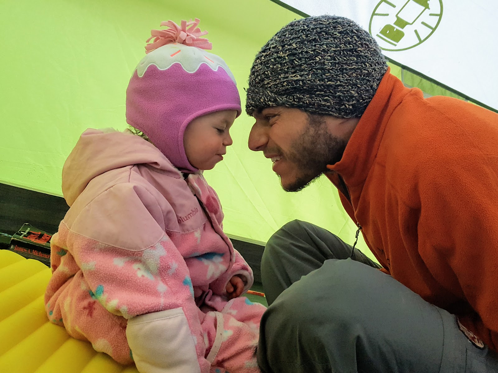
dadadadadadadaaaaaa
Feeding
  • Watching a camping toddler eat goldfish crackers is like watching a great white shark swim through a school of surfers. It's total carnage and you're going to be finding pieces of goldfish cracker in your sleeping bag for many years to come. Something about the fresh air stimulates the appetite. You can never ever ever have too many packs of goldfish crackers.
  • Clip-on high chair + combo placemat/bowl = ability to feed kid without kid wandering off or eating seagull sh!t off the picnic table.
never underestimate the power of cheddar cheese
Hygiene
  • Don't use cloth diapers. Just don't. Disposables. Really. I don't care how much of a dirty hippy you are, just trust me on this one.
  • Repeat after me: a little dirt never killed anyone, as long as you wash your hands after diaper changes and before eating. No, you are not going to give your kid a bath every night. KK got 2 baths in the 2 weeks we were out. Wipe 'em down with a washcloth and call it a night.
lost one of these sandals around Koke'e. this is why we can't have nice things.
Expectations

...
...
...

Wait, why didn't you write anything under "Expectations" above?

It deserves a section of its own, because the hardest thing about this trip was managing my/our expectations.

In our 2 weeks, we had 3 hiking days. THREE (3). Those 3 hiking days were all sub-6 mile days. This is, um, not a lot of hiking. Especially for flying nearly 1/3 of the way around the world. And no backcountry nights at all. Buh bye, Kalalau Trail. 

Previous to KK, Dave and I could run ourselves pretty hard. It was NBD to pack up camp, drive a couple hours, slam out a hike, set up camp, and crash - rinse and repeat the next day.

This time, we were dealing with ANOTHER PERSON who had her own feelings, needs, and desires. (IMO, this is the key distinguishing factor between a baby, who would be as obliviously and happily drooling at the North Korean DMZ border as your kitchen table, and a toddler, who is the human equivalent of the Doomsday Clock at 11:59 p.m.).

i have opinions
On this trip, we had to limit our driving to KK's afternoon nap. When we hiked, we needed to take regular breaks so she could scoot around and stick her hands in the mud and play with our noses. We couldn't have dinner at 9:30 p.m. We had to stop for goldfish crackers, diaper changes, more goldfish crackers, another layer of sunscreen, dear heavens why more goldfish crackers. 

moar goldfishhhhhhhh
 We couldn't "just push through."

Not that we didn't try. It blew up in our faces: it was HARD. And then we learned our lesson, regrouped, and continued on. 

My mantra since becoming a mother is: JUST GET OUT THERE. Counterintuitive as it seems, at this point in young KK's life, it actually does not matter if the trail is 6 miles or 0.6 miles. It doesn't matter if I climb 2 pitches or 20, if those pitches are 5.6 or 5.11. Doesn't matter if I'm camping in Hawaii or my backyard.

Children learn what they live. If I wait until KK is old enough/ strong enough/ communicative enough/ potty trained/ whatever to show her there is more to the world than our living room - it's too late. She's enough, just as she is right now. And to be honest, she doesn't know or care for the difference between a desolate beach at the end of the earth and our cozy living room - as long as her loving parents are there with her.

not poop, but would love her even if it were.
Each of her small experiences builds on the previous. If we want to hike 2,659 miles on the PCT as a family 8 years from now, then I need to go hike 3 miles in Danby State Forest with her tomorrow morning so she sees me pee in the woods and knows that is a normal thing that ladies do when they need to go.

So fine: we only hiked 3 days. Fine! We hiked 3 days in an incredibly beautiful and special corner of this One Great Dewdrop - and we did it as a family. Never thought I'd write those words.

hey mom :o)
Dang. That's deep.

Yeah, I would say motherhood is about as deep as it gets.

pele: goddess of fire
polihale: the end of the earth
home: is wherever i'm with you

Wednesday, June 11, 2014

Kings Canyon: The More Beautiful, Less-Crowded Yosemite

Dave and I tried to visit Kings Canyon and Sequoia National Parks on our last road trip, but the Sierra actually had snow that year, so we couldn't.  This year, the Sierra received something like 25% of its annual snowpack.  Bad for California...  great for backcountry travel.

On the way into the park, there was a crazy heat wave.  Crazy.

did i mention this is crazy?
Time to escape to the mountains!

We stopped by Sequoia to see some of the Big Trees.  They are Seriously Big Trees.

the boole tree. i took this photo from ~100 meters away. can you find dave in the frame?
Like all of the minor temples and churches listed in a Lonely Planet guidebook, Seriously Big Trees start to look the same after a while.  We visited the Boole Tree, because it required a nice walk in the woods, and the Grant Tree, because we wanted to fill up our water gallons at a nearby campground.  I was suitably impressed and ready to get to the mountains.

hanging with the boole tree
So, how do we pick our hiking routes?  Not too much research in advance, because the amount of information available on the internet is totally overwhelming.  Instead, we talk to park rangers about their favorite locations and get maps and current trail information from land management offices when we arrive.  

And sometimes we pick our route because one of us sees a pretty picture, which is how we ended up on the Bubbs Creek trail headed toward Kearsarge Pass in the eastern section of Kings Canyon!  On this 3-day trip, we started at the Road's End permit station, camped two nights at Vidette Meadows, and a day hike to Kearsarge Pass and Kearsarge Lakes on the second day.

The walk up Kings Canyon was beautiful.  Soaring rock walls as you climb higher and higher.  And yes, there is climbing here - adventure climbing with brutal approaches!

view from the switchbacks, looking toward Road's End

From Road's End to Vidette Meadows is around 12-13 miles with about 4500' of elevation gain, so it took most of the day.  

Didn't help that the few parties walking out kept asking, "Be careful for rattlesnakes! How many have you seen?" (Answer:  2 total on the trip, neither of which were under my boots, thankfully.)

Vidette Meadows has a few nice campsites.  We picked the one that seemed to have the fewest mosquitoes.  Stay away from standing water...

camp at vidette meadows
The next day, we slept in (to 7:30 a.m!) and had a leisurely breakfast, leaving camp around 10:00 a.m.

Kearsarge Lakes are BEAUTIFUL.  It's the type of scenery that makes you rub your eyes and wonder if you're dreaming!

for me... the most beautiful type of scenery! alpine lakes and soaring peaks!
We continued high above the lakes, toward Kearsarge Pass.  This is a popular place for PCT through-hikers to exit for resupply (Onion Valley -> Independence), so we ran into a few friendly faces.

climbing higher above kearsarge lakes
 After a set of rocky, sandy switchbacks above a steep talus field (minor nail-biter), we were at the top!!

kearsarge pass, elevation 11,760 feet
The panorama from the top was stunning.  That's Mt. Whitney, the highest point in the lower 48, in the back corner!  This is the best view I've seen since the Khumbu Valley in Nepal.

ah-MAY-zing!
We ate lunch on top, then wandered back down to camp via the higher Kearsarge trail to make a nice loop.


After dinner, we bushwhacked up the slope behind Vidette to watch the alpenglow on the Kearsarge Pinnacles in the distance.


Very romantic...  and COLD!


On our last day, we got up early to get to the car and out of the park ASAP.  On to the next adventure!  Along the way, we stopped to gawk at some wildlife.

the level of not-give-a-crap was just like the deer at home on the east coast!
what type of snake is this? very pretty.
i know what kind this is...  nice rattle, baby.
I had no idea that Kings Canyon was so beautiful.  Considering my very conflicted opinion of Yosemite Valley (see next post), I might recommend Kings Canyon and the Rae Lakes Loop (or any section of it) over the more famous park to the north!!  Two thumbs up for the Kings Canyon backcountry!

Thursday, April 12, 2012

The Hills of Estelí and the Creep of Somoto

After hot-as-an-oven Granada, Estelí was a breath of fresh air (literally), as it sits at 850 meters (~2,800 feet) above sea level, surrounded by dusty hills.


It's tobacco growing country, and one of the most important cigar-producing cities in the world.  I've heard some folks say that it has a bit of a "western" feel, and I can see why...  lots of cowboy hats and cowboy boots around town.

Estelí was the location of some pretty intense fighting during the Sandinista civil war against the Somoza government during the late 70's, and the city was heavily bombed.  During my last class with Sylvia, I came across a sentence that I didn't quite understand on one of her worksheets:  "Aquí era delito, era un crimen ser joven, era razón de ser perseguido el simple hecho de ser joven."  Or: "Here it was a crime, the crime was to be young, it was a reason to be persecuted for the simple fact of being young."  I asked her what it referred to, and she explained that during the war, the government forces were particularly brutal on the youth of the country, suspecting anyone under a certain age of being part of the insurrection.  There is a small museum in Estelí dedicated to the young people who were murdered during the war.

I didn't make it to the museum, though, because I had an incredibly "unproductive" time in Estelí.  Attempted to find postcards; could find exactly two in the entire city.  Attempted to find an open post office to buy stamps; post office inexplicably closed.  Tried to find the aforementioned museum; found something that resembled a museum, but the premier exhibit was a demonstration of the "progress of technology" (i.e. several dusty typewriters and an ancient computer monitor).  Never mind.  I wandered around the city and enjoyed not being covered in sweat.

To make my way toward Guatemala to meet Dave, I needed to head northwest, across Honduras and into El Salvador.  A national park in Somoto protects a deep canyon through which flows the Río Coco.  I thought I would stop there for the day to check it out.


View Larger Map


origin of the rio coco
I took a bus from Estelí to Somoto and was met at the stop by my guide for the day, Franklin. Franklin works for the head guide in the region, Mr. Henry Soriano. Franklin brought me to Henry's house, where I stashed my backpack and got the quick run-down from Henry.

We walked up the highway a bit, then off into the dusty hills.  It did occur to me, "Hey, I'm walking off into the middle of nowhere with some Nicaraguan guy I just met," but I have to say that Franklin was nothing but sweet, considerate, and friendly.

Once we got to the river, Franklin helped me across the rocks, and we were off into the canyon.  It was a very pleasant day.  We'd walk along the rocks for a while, the get in the water to swim or wade for a while.  Even though I don't really like being in the water, and I swam quickly so I could get back to the rocks, I was enjoying myself.

Eventually we got to the end of the canyon, which is the narrowest and most beautiful section.


And, in case you're wondering, all that rock is most definitely climbable (yes, I checked it out).  You'd have to deal with a very wet rope and the enormous spiders that live on the walls of the canyon, though!


Soon after the prettiest part at the end, we met another group (two American guys and a Swedish girl) guided by Henry's brother for a boat ride to get out of the river.  This, unfortunately, is where the story takes a turn for the worse.

Monday, April 4, 2011

Southern Utah

Southern Utah...  where to begin...  I'll start with...  AMAZING!

Ok, ok, I won't use too many superlatives.  But my time here was, uh, really, really amazing.  Alright enough of this.  Here's the rundown...

our route through southern utah

Zion National Park: I had no idea what I'd find in Zion—all I knew was "big canyon." Then these thousand-plus foot cliffs came out of nowhere:

daaay-amn
 We hiked to Angel's Landing. I didn't know why it's called Angel's Landing until I was looking down from this:


If you're in a good mental place at this point, you think that angels probably land in the middle of the canyon.  If you're in a bad mental place at this point, you're praying to the angels!

I've turned back from a trail only once in my life; Angel's Landing nearly became the second. The first 2 miles are super easy. The last half-mile is 3rd to 4th class scrambling up a steep narrow razorback ridge with 1200 foot drops on either side to a platform that feels suspended in heaven above the valley. It's not hard, physically, but it's a bit of a mind trip! Hang on to those chains!

The way down was easier than the way up.  For sure.

I wish we'd spent more time in Zion, but we weren't sure how much time we'd have before we needed to head east, so we moved on. I would love to return here some day.

Bryce Canyon National Park: Zion is big; Bryce is intricate. It's known for its pillars of rock, called hoodoos.  This is a really fun word to say again and again.  Go ahead.  I'm not listening.  Right, eh?

these are hoodoos.  multi-colored hoodoos!
We did the "figure eight" track between the Queen's Garden, Peek-a-boo Trail, and Navajo Trail, which covers the Bryce Amphitheater pretty well. The park was still covered in snow, which was so beautiful.
hoodoo in the snow
Grand Staircase – Escalante National Monument: This place is enormous, and we only scratched the surface. In that tiny scratch, though, we managed to come up with some of the most fantastic, beautiful, fun experiences of this entire trip... slot canyons!

kicking up my heels for a bit of rest!
We went through Peek-a-boo Canyon and Spooky Canyon.

Peek-a-boo Canyon was soooo beautiful, with sandstone of pink, orange, samon, gold, yellow, and white sculpted into fins, swirls, and arches. It also involved some fun scrambling and climbing.

beautiful peek-a-boo canyon's salmon-colored sandstone
Spooky Canyon was darker, gloomier, and pretty tight in places—maybe ten inches wide—not wide enough to pass through with a backpack (hint: balance it on your head or kick it forward with your foot).
making my way through spooky canyon...  a "dramatic" action shot

Neither canyon was technical or particularly difficult, but it was a perfect introduction to slot canyons. Next time, I really want to try something a bit more technical, more than just wandering and scrambling.

a tight spot in spooky

Capitol Reef National Park: I hadn't heard of Capitol Reef before this trip, but I think it's as visually stunning as the Grand Canyon or Zion. It's a big uplift of the Earth's crust, so the different layers of sandstone are visible, along with other domes, buttes, and mesas. We were only passing through, but I'd love to return in order to explore more.

beautiful rock formations in capitol reef national park

Glen Canyon National Recreation Area: Another place that was totally not on my radar, Glen Canyon has enormous, dramatic red cliffs. It seems like the type of place where you could park on the side of the road and wander off to explore. We spent a night on the banks of the Dirty Devil River, before crossing over the Colorado River. Another place I'll come back to explore!

camping next to the dirty devil river in glen canyon national recreation area

Natural Bridges National Monument: If something like this were on the East Coast, it would be a major tourist destination. Because it's in Southern Utah, it's meh. There are three big, white sandstone bridges. Worth a quick stop (that's all we gave it) and not much more.

this is a natural bridge

Canyonlands National Park: Canyonlands is actually three "parks," separated by the Colorado and Green Rivers. We went to The Needles section to do, what else, some hiking. Because it was supposed to be warm that day, I decided to wear my Chacos; I had to end the hike early because of pains in my feet. Wondering if all of this hiking has given me a stress fracture or tendon damage or something.  :-(

before i busted my foot
the needles section of canyonlands national park
Arches National Park: The way timing worked out, we went into Arches on three separate days. The first day, not knowing how much time we'd spend in Arches, we only did the scenic drive and walked to a distant viewpoint of Delicate Arch.

eyeballin' delicate arch
The second day was rainy and dreary. Oh no! This is supposed to be the desert! Maybe someone would cancel their spot on the ranger-guided Fiery Furnace walk... and someone did.  Once again, a lack of planning got us a last minute ticket on something that's usually booked well in advance.

fiery furnace walk
By the time we were done, the rain was clearing up, so we continued our hiking day with the loop through Devil's Garden via the Primitive Trail, marveling at the sandstone fins and arches. Pretty cool place.

resting at partition arch

The third day ended up being our rest day. We hung out in Moab at the library and grocery store (exciting, I know). That evening, we walked out to Delicate Arch to see it up close.

the classic delicate arch photo

San Rafael Swell: If you're in a slot canyon, you can bet your PB n' J that anyone you meet will mention "that guy who got stuck and cut off his own arm." Yeah, it happened in a slot here in the San Rafael Swell. No, I don't think it will ever happen in Little Wild Horse Canyon.

a pretty picture of the little wild horse slot canyon
This was another non-technical slot canyon that someone recommended to us. Very non-technical—it was packed with families with young children on the day we hiked it. The narrows were quite pretty, and some sections were indeed fairly narrow, but it would be hard to beat Peek-a-boo and Spooky!

Southern Utah is...  well...  the best word I can use is: AMAZING!  Not only is it superbly beautiful, many of the most amazing places are easy to explore and not in National Parks, so there's more freedom to camp and hike on previously disturbed areas using LNT principles.  It's really easy not to see anyone if you want to be alone. You know you've been in Southern Utah for a while when seeing two cars at the trailhead makes you grumble about crowds!