Pages

Tuesday, March 29, 2011

Eastbound, At Last

For the first time in well over a year, I'm headed eastbound instead of westbound. Moving westbound last year, west and farther west still, brought me around the globe—and then I continued west, again, this year.

Always chasing the setting sun, I've occasionally wondered if my perpetual westward heading related to some conclusion in the broader context of my life. Cutting myself free closed one chapter. This year I'll turn 29, completing my 30th year on this planet. As I turn eastbound, toward the rising sun, I can't help but think about beginnings, about joyfully opening a new chapter, and about everything I can look forward to.  :-)

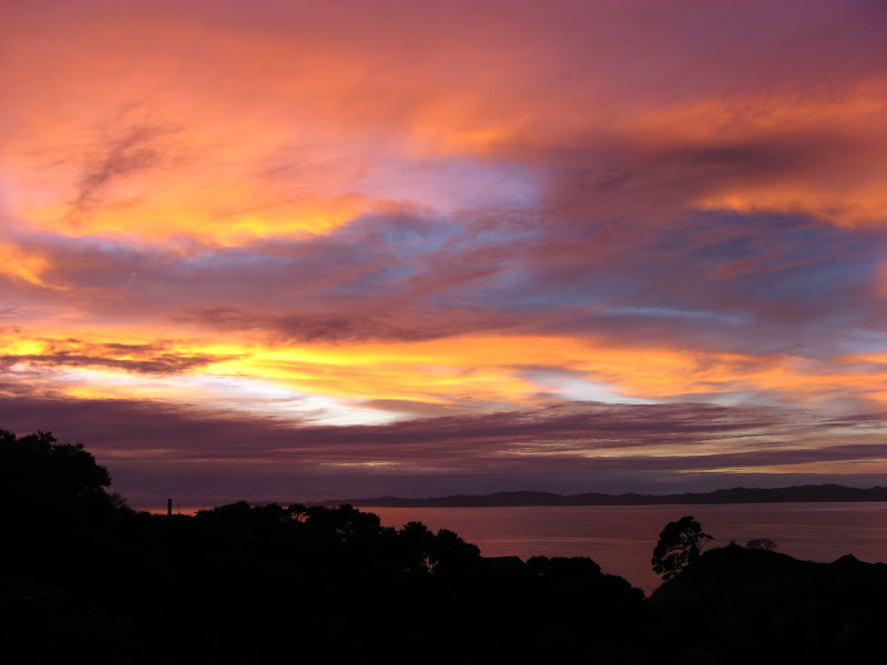
sunrise over tuateawa bay, new zealand

Anyway! What's happened since I've turned eastbound? Seems like my priority has been adventuring, rather than writing about adventures. Some day I'll write more about my time out West. But, for now, here's a quick update, starting from California.

San Francisco: I rejoined Davo, and we went to Muir Woods so he could see the Redwood trees. John Muir is quite an inspiration to me (this blog is named for one of his quotations). The place was crammed with people, even though it was raining, so it wasn't really a place for quiet contemplation and reflection.

golden gate bridge, after the rain

That evening, we hung out with Jenny O, an awesome woman we know from Ithaca. The weather sucked, so we decided to move on to...

Yosemite and Sequoia National Parks: which we did not get to visit. Still snowed in, tire chains required. We continued on to...

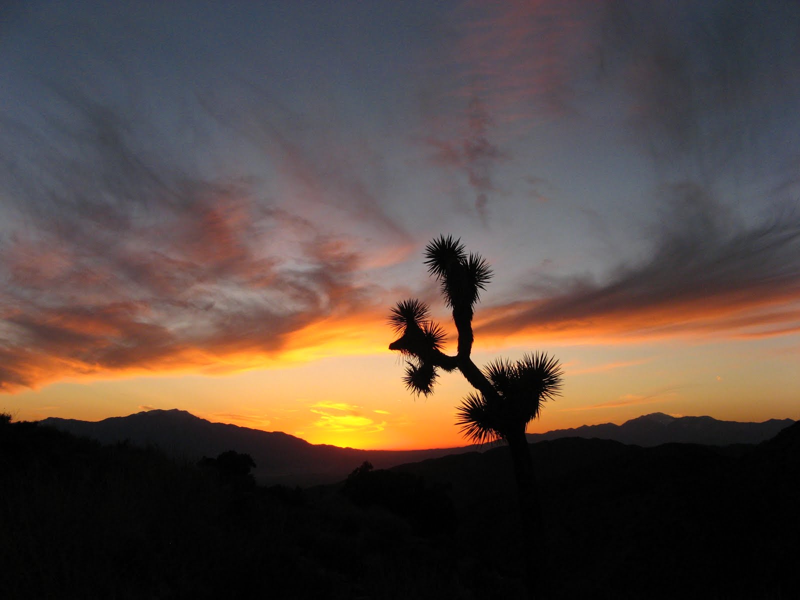
Death Valley National Park: In the hottest, driest place in North America, I experienced the worst, coldest, wettest, nastiest weather of the road trip when a freak storm blew through. There was tons of rockfall across Towne Pass; we checked in with four cars disabled on the side of the road in poor visibility with rocks still falling around them as it snowed. So that's why they call it Death Valley!

"colorful"--for the desert--salt creek, home of the salt creek pupfish

Death Valley was more interesting than I expected, because of all of the organisms that have evolved to survive in this environment. Life will find a way! It was also more photogenic than I expected, with colorful badlands next to pure white salt flats under a blue desert sky.

Red Rocks National Conservation Area: Red Rocks NCA is ten miles in distance and a million miles in feeling from the Las Vegas strip. We did a half-day hike up Turtlehead Peak.

And, of course, we climbed! It was my first experience on desert sandstone, and I enjoyed the awesome weather, amazing scenery, super sticky rock, and very chilled out vibe. (Not going to lie, it was a nice, undeserved ego boost to climb about two grades harder than I do on the East Coast.)

red rocks panorama

The BLM campsite was totally full, but we found some guys from Colorado who had room for an extra car. Put a bunch of strangers around a campfire and you'd be surprised what wisdom results. I loved Red Rocks, and I would definitely return some day.

Grand Canyon National Park: Moving on to the Grand Canyon, I had no idea what we'd do. The weather wasn't great—overcast and spitting snow—so my first impressions of the canyon weren't, well, very impressive. Plus, backcountry camping permits book out months in advance.

Yet somehow our lack of planning and total flexibility snagged us a permit for Indian Garden! We hung out on the rim for a day and camped outside the park in Kaibab National Forest. The next day, we hiked 5,000 vertical feet down the canyon (via South Kaibab Trail), took lunch on the Colorado River, and hiked back up the canyon 2,000 vertical feet (via Bright Angel Trail). The next morning, we hiked out the remaining 3,000 vertical feet, in sunshine for the first time.

with the colorado river below us

Everyone talks about the Grand Canyon like it's the most amazing place on earth. I thought it was really impressive, but something about the hordes of people and the overly-maintained trails kept me from connecting with the Canyon. It is much more of a tourist attraction than a wilderness experience, which is fine—just not my cup of tea.

For personal and family reasons, I assumed that our southwestern adventures would probably end here. But a sweet turn of events meant that we continued to southern Utah... and that deserves a post of its own!

Friday, March 18, 2011

California or Bust!

I had a week to go from Los Angeles to San Francisco while Dave had a job on the East Coast.  I decided to head up the scenic Pacific Coast Highway, Route 1.


Santa Monica National Recreation Area:  When I think of heaven, this is what I imagine...  happy little hiking trails, cliff faces, lots of green, trickling creeks, blooming wildflowers, bird song...  ahhh it was just so darn pretty!  I hiked the Mishe Mokwa Trail to TriPeaks, where I went off trail and almost stepped on a snake (sorry buddy!), to the Backbone Trail to Sandstone Peak, the highest in the Santa Monica Mountains.


I wanted to hike in the Angeles National Forest, but a lot of the trails are still closed due to the Station Fire back in 2008.  A few different rangers suggested checking out the Morro Bay area outside San Luis Obispo, so I headed there.

Montana de Oro State Park & Morro Bay:  Let me tell you, this isn't the Jersey Shore or Malibu!  Tidal pools packed with anemones and hermit crabs...  cliffs dropping straight into the churning surf...  dense fog rolling in off the water and turning everything dream-like.  I'm not much of a beach person, I prefer the mountains, but I'm glad I went here to experience the California coast.


The next day, I decided to walk up Cerro Cabrillo, Cabrillo Hill.  It's something less than 1,000 feet, like 3 miles round-trip, I thought I'd knock it off in an hour.  Holy crap on toast, I was wrong!  The first third is a gentle uphill on a wide track.  The second third is a respectable uphill puffer on a beaten-earth track.  And the final third?  Bushwhacking through poison oak while avoiding snakes.  I totally lost the track on the way back down and survived the whackest of bushwhacks I've ever experienced.  I'm going to burn the pants I was wearing because I'm positive they're infused with 100% poison oak oil and will never be safe to wear ever again.  It was nasty and awesome.

the look on my face after the bushwhack...  WHEW!
Route 1 and Big Sur:  how to describe the California coast...  MOODY.  Not spectacular, not dramatic, not serene, but rather... infused with subtle feelings.  Everything here is a shade of gray, especially when the fog rolls in, which is always.  It seems like this would be the place to reach some sort of far-reaching personal conclusion about the workings of something or other.  Does that sound weird?  Something about the loneliness of driving this road in the middle of the week...  how the waves keep crashing, crashing, crashing against an unobserved cliff...  the way the fog burns off the peaks of the ridges before the valleys...


I visited Big Sur and day-hiked the famous Pine Ridge Trail.  It would make an awesome backpacking trip.

I was surprised to learn that Big Sur is the far southern end of the range of the great Redwood tree.  Most of the trees I saw were freaking huge by east-coast standards, but rather puny by Redwood standards.  I decided to head farther north in search of the giants.

the trees might not be huge, but the banana slugs are!

And then the highway fell into the ocean.  Oh, s***.  At first, I heard it would be closed 3-7 days.  Now crews say a month.  I backtracked a few hours and went up and over the Santa Lucia mountains.

AP Photo/Monterey Herald, Orville Myers, http://www.pressdemocrat.com/article/20110318/WIRE/110319452?Title=Hwy-1-on-state-s-central-coast-may-be-closed-a-month

Big Basin Redwoods State Park:  Why this park?  I don't have a good reason, other than acknowledging that something told me in no uncertain terms that I had to go.  I've learned not to second guess those intuitions.

It was AMAZING.  The little half-mile "Redwoods Trail" brought me past some of the largest trees in the park.
the "father of the forest" is 66 feet, 9 inches around
the "mother of the forest" is 329 feet tall and 70 feet around.  take that, dad!
I also walked the Skyline to Sea Trail to the Dool Trail to the Creeping Forest Trail.  This park wins on trail names alone!  The forest was SO lush, SO green, and then there are monster trees everywhere.

a bridge made out of a downed redwood
The hardest part of being a bum in California has been finding non-sketchy, non-illegal places to sleep at night.  I really wanted a break from the stress of figuring out where I would park for the night, so I paid for a campsite in the park, nestled in a grove of redwoods, right next to a shower block (aaahhh!).  Wisely, I slept in the car and awoke to the pitter-patter of raindrops sliding off the redwoods, my tent still dry under the car seat.  I stayed in my sleeping bag until 9:30 a.m. when I reasoned that I had been hibernating for 12 hours.

campsite among the redwoods
Hanging out with the redwoods was a very peaceful experience. Some of these trees were seedlings during the Byzantine Empire...  saplings during the Dark Ages...  already eight feet in diameter when Columbus landed in the Americas.  Spending any length of time in a grove of redwoods reminds me that I am very small and very insignificant.  Not in a bad way, though.  It feels reassuring to know that there was so much before me and there will be so much after and beyond me.


From Arizona to California

It's raining.  On the one hand:  bummer.  On the other hand:  I can hang out in this nice library surrounded by books and write a few updates!  Picking up where I left off...

Cochise Stronghold:  After Saguaro National Park, we climbed a day at Cochise Stronghold.  Our couchsurf hosts spoke highly of the place, and they were right.  Fantastic granite and thought-provoking moves, even on the easy stuff.  This day, though, I missed my climbing friends in Ithaca and wished that we were together.

yucca and cochise granite

Then California!

Joshua Tree National Park:  the Joshua Trees look so odd, like something Dr. Seuss would draw.  We did a day hike out into the desert and up a canyon.  I'm sick of desert hiking.  Just not the type of place where I feel at home, comfortable, refreshed, at peace--how I usually feel after hiking.

We climbed a half-day since we had quickdraws but no trad rack.  Ooops!  We climbed on Pixie Rock...  lots of smearing and lots of open grip hands.   I desperately attempted to crimp on microscopic numbs and to edge on non-existent features before I gave in to the style the rock required.  Then it went ok, and I climbed my first outside 5.10 (no cheating, this time!).

I thought I would love JTree, but I only liked it.

joshua tree and sunset
San Bernardino National Forest:  This was an unexpected stop, since we left JTree early.  AWESOME!!! We hiked the Cougar Crest trail out of Big Bear City to the famous Pacific Crest Trail and Bertha Peak.  The northern slopes were still snow-covered, and there were trees and shrubs everywhere overlooking the lake and the ski slopes beyond.  After a month in the parched, beige and brown desert, this was like awakening!

view of big bear lake from the pacific crest trail (PCT)
We volunteered with the Bald Eagle annual census and spotted an adult eagle soaring across the lake!

our eagle census sheet
After the San Bernardinos, I drove Dave to LAX so he could fly back to the East Coast for a rope access job.  And then, I was on my own!

Sunday, March 13, 2011

Briefest of Brief Updates

Current location:  Santa Monica, California

Heading:  N by NW (i.e. San Francisco)

Realization:  I'm so totally, hopelessly behind on pictures and blogging and blahblahblah computer crap.  And I don't care!  I simply can't/ won't/ don't make time to get on the computer.  Not when there are trails to hike, mountains to scale, cliffs to climb, and roads yet to be explored.

Announcement:  Regular photo and blog updates will re-re-commence when I've got the time and inclination to tell the story.

Until then...  onwards and upwards!

white sands national monument

Sunday, March 6, 2011

Adventures on the Border

Holy smokes! So much has happened since Big Bend it's hard to know where to start (and how to prevent this from turning into ten pages of blahblahblah).

This was our route:


We've been following the southwestern border with Mexico because it's still a bit too cold to venture farther north.

And here are a few highlights from each place we've visited:

Guadalupe Mountains National Park, Texas: Our hiking plans were foiled once by winds gusting to 80 mph. Nearly foiled again by a backcountry fire! We hiked Guadalupe Peak, elevation 8749 feet, the highest point in Texas. Also, I earned my Junior Ranger badge and patch.

Carlsbad Caverns, New Mexico: The caves are more vast and more highly decorated (stalagtites, stalagmites, the whole deal) than you could possibly imagine. We walked down the Natural Entrance and around the Big Room. Though there were facilities for throngs of tourists, we had the entire silent, eerie place to ourselves (yay February visit!).

White Sands National Monument, New Mexico: I thought this would be cheesy, but WHOA it's SO cool! It was so much fun to run up and down the dunes, throwing sand and ourselves into the air, enjoying the contrast between the pure white sand and the brilliantly blue sky.

Las Cruces, New Mexico: Shitty weather and a need to talk to someone other than each other led us to another fantastic Couchsurfing host. I helped her made "authentic" Southwestern enchiladas with mole, played with the three dogs, and chatted about outdoor adventures.

Franklin Mountains State Park, Texas: Our Couchsurfing hosts tipped us off to a little crag called Sneed's Cory outside El Paso. Dave got to christen his new rope, and I made my first sport lead outdoors (on Spirit, 5.6).

Gila National Forest, Wilderness, and Cliff Dwellings, New Mexico: A return to pine forests after three weeks in sandy scrub was refreshing... and COLD! Overnight temps fell to 15-25ยบ F. Chuck, our volunteer tour guide, made the Cliff Dwellings mysterious and exciting. We did an overnight trip up the Little Bear Canyon—a narrow, undulating crack—to camp at its junction with the Middle Fork of the Gila River under soaring, red cliffs. I accomplished 32 stream crossings without whining or anxiety to get from camp to the Jordan Hot Springs and back.

Saguaro National Park, Arizona: The saguaro cacti remind me of human-like trees, or tree-like humans, and they are delightful. In our wanderings around the Sonoran desert, we missed a turn and ended up in a dead-end canyon. Dave continued bushwhacking, while I tucked myself into a rock overcrop with my journal and my thoughts.

At the moment I'm in Tucson, a city whose highways and boulevards sprawl in every direction, a city with abundant sunshine and air but no water (like most southwestern cities, I guess). Today is our rest day, which means RESTING, and also straightening up the car, getting an oil change, putting together some food, internet time at the County Library, and catching up with friends and family.

From here, we're thinking of backtracking east a bit to Cochise Stronghold for a day of climbing, then continuing (surprise, surprise!) west to Joshua Tree National Park in California. We will be in Los Angeles by the 13th for Dave to fly to a job on the East Coast.

Those are the updates for now; library is closing so I gotta run!  I'll write again the next time I have internet access!

P.S. My best photos are posted at picasaweb.google.com/nicotedesco. The albums from White Sands and Saguaro are my favorites.